Minecraft · 1:1 scale · 103,000 km²
All of Iceland, block by block.
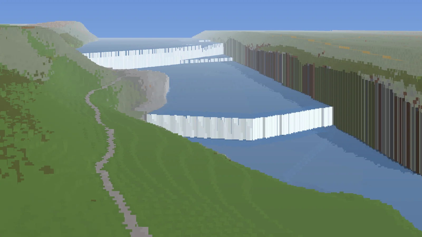
Rebuilt from elevation models and satellite imagery. Every waterfall falls where it really falls, every geyser bubbles where it really bubbles.
Not a made-up world. The real country, metre by metre.
One block is one metre. Heights come from satellite measurements accurate to two metres, ground colours from summer Sentinel-2 imagery, and roads, rivers and buildings from OpenStreetMap.
Eighteen special areas get extra detail. Between them lies the rest of Iceland, so you can walk, ride or fly from one waterfall to the next.
- Scale
- 1:1
- Area
- 103,000km²
- Detail areas
- 18
- Teleport points
- 60
- Buildings
- 138,000
- Highest peak
- 2,110m
01 · Places
Places you have to see
Every place has a teleport point with a view. Type the command in the game and you're there.
02 · Map
From the Westfjords to Vatnajökull
The whole country exists in the world. The dots are the featured places; in between lies the rest of Iceland.

03 · How it works
From satellite to block
-
01
Height
ArcticDEM measures the land to within two metres. Trees and buildings are filtered out, leaving the real ground surface. Sea level sits at a fixed height, and Iceland's highest peak still just fits.
-
02
Colour
The satellite colour of every spot is matched against the colours of Minecraft blocks. Moss becomes moss, black sand becomes black sand, and the orange ground of Hverir becomes terracotta. Clouds are averaged out over several summers.
-
03
Water
Rivers only flow downhill. Where OpenStreetMap knows a waterfall, the drop becomes one vertical step, with a white fall and a plunge pool below. The sea follows the real coastline.
-
04
Life
Strokkur erupts every few minutes, fumaroles hiss, mud bubbles, surf breaks on the beach and mist hangs at every big waterfall. Icebergs float where the satellite saw them.
04 · Play
Walk around yourself?
The server is in testing and not public yet. This is what it will look like:
- Minecraft Java 26.2 with the RealWorld profile.
- Distant Horizons (recommended) to see for kilometres: mountains and glaciers on the horizon.
- Connect, type
/rw placesand pick where you want to go.
In-game commands
/rw places- all teleport points per area
/rw tp skogafoss- go straight to a place
/rw where- your real coordinates and altitude
/rw goto 64.33 -20.12- go to any coordinate in Iceland
/rw erupt strokkur- make Strokkur erupt right now
/speed fly 5- fly faster (0–10)